Raleigh guides: neighborhoods, historic districts, tree canopy
A map of Raleigh's 18 advisory council areas and 414 registered neighborhoods with the businesses inside each, a checker for which exterior jobs need city approval in historic and conservation districts, and how much tree canopy each part of town has.
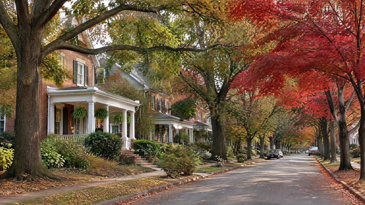
Raleigh Neighborhoods Map: 18 Citizen Advisory Council Areas and 414 Registered Neighborhoods
Shade Raleigh's 18 Citizen Advisory Council areas by how many businesses from our lists stand in each, for all lists or for one job. Look up any of the 414 neighborhoods on the city registry, and see which businesses sit in Cary, Garner or Knightdale.
Updated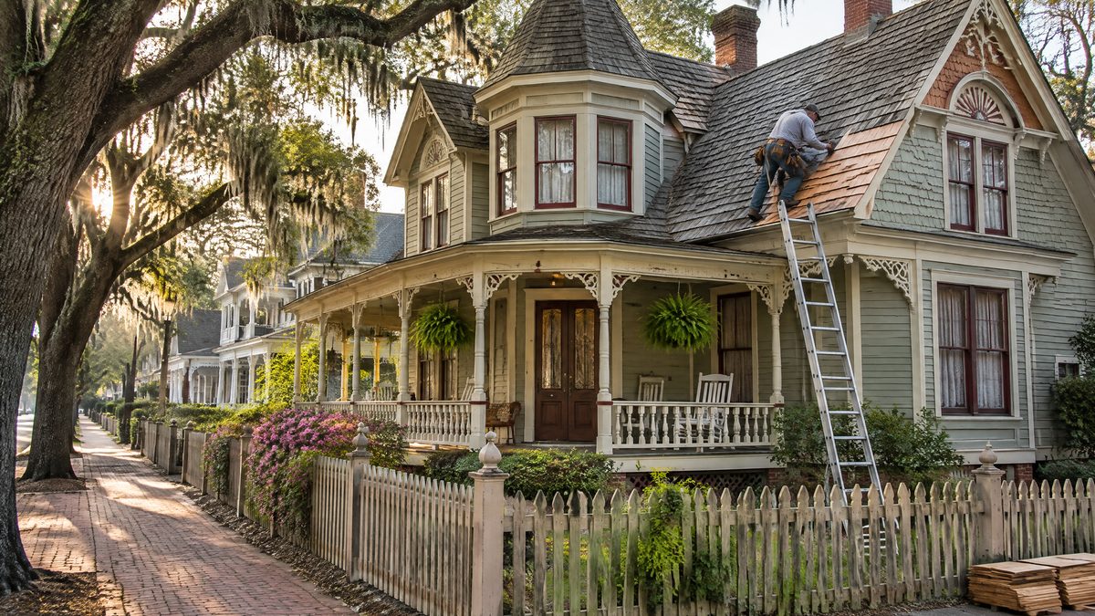
Raleigh Historic and Conservation Overlays: What Exterior Work Needs City Approval
Pick one of Raleigh's 30 historic and neighborhood conservation districts and a job such as a new roof, windows or a fence, and see whether it needs a certificate of appropriateness, whether staff can approve it, and how the process runs.
Updated
Raleigh Tree Canopy by Area: How Much Shade Each Part of Town Has, 2010 to 2020
Raleigh's tree canopy covered 48.2 percent of the ground in its block groups in 2020, down from 49.5 percent in 2010. See each of the 18 Citizen Advisory Council areas on a map, with canopy in both years and the hardwood and conifer split.
Updated