Raleigh Tree Canopy by Area: How Much Shade Each Part of Town Has, 2010 to 2020
Raleigh's tree canopy covered 48.2 percent of the ground in its block groups in 2020, down from 49.5 percent in 2010. See each of the 18 Citizen Advisory Council areas on a map, with canopy in both years and the hardwood and conifer split.
Updated
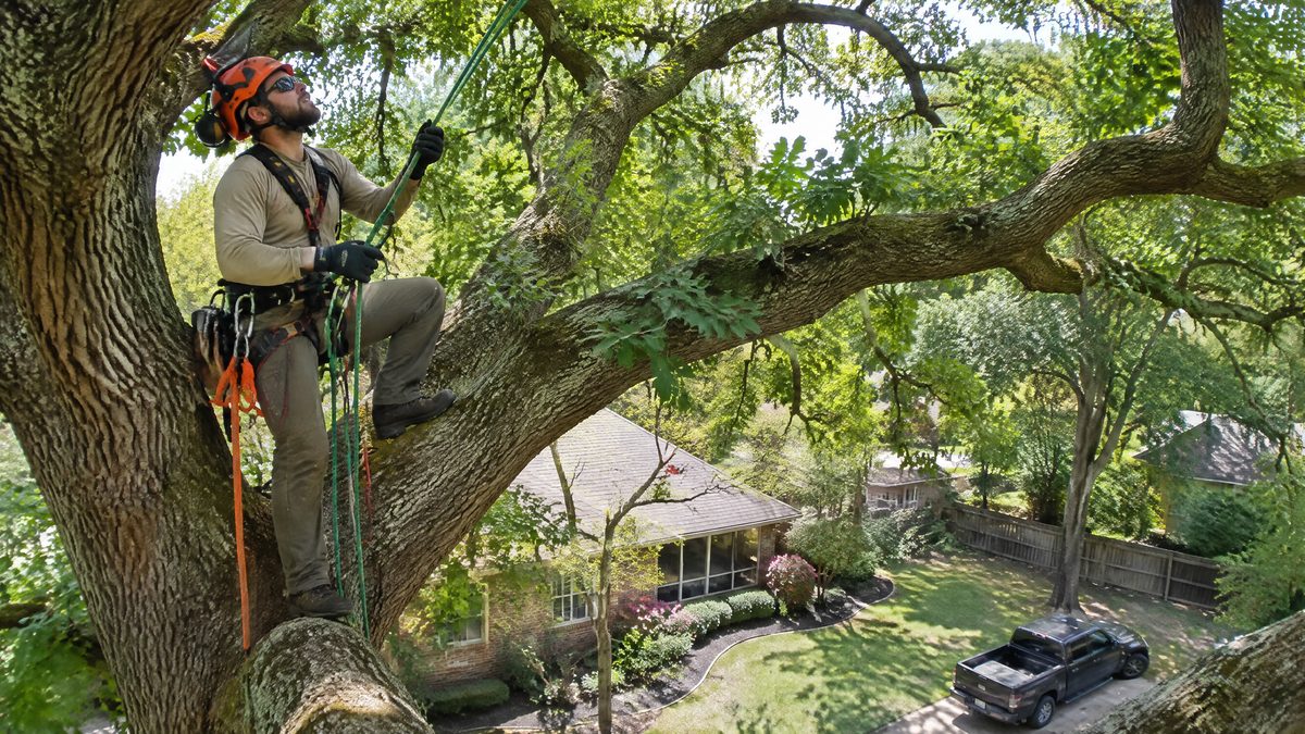
See the canopy of your part of town
Shades run from the leafiest area to the barest. Tap an area to compare its 2010 and 2020 canopy.
least canopymiddlemost canopy
Eighteen areas, leafiest first
Northwest is the leafiest at 57.0% and North Central the barest at 24.6%. Glenwood lost the most ground, -8.1 points, while Atlantic gained the most, 3.3 points.
| Area | Canopy 2010 | Canopy 2020 | Change in points | 2020 canopy |
|---|---|---|---|---|
| Northwest | 58.4% | 57.0% | -1.4 | |
| Glenwood | 64.9% | 56.8% | -8.1 | |
| Midtown | 57.7% | 52.2% | -5.5 | |
| North | 47.1% | 47.6% | +0.5 | |
| Forestville | 48.4% | 46.9% | -1.5 | |
| West | 49.2% | 46.7% | -2.4 | |
| East | 52.4% | 46.6% | -5.8 | |
| South | 47.6% | 45.3% | -2.3 | |
| Southeast | 42.9% | 44.5% | +1.6 | |
| Southwest | 40.9% | 43.8% | +2.9 | |
| Hillsborough-Wade | 45.8% | 42.2% | -3.7 | |
| South Central | 45.0% | 41.7% | -3.3 | |
| Five Points | 48.0% | 40.8% | -7.2 | |
| Atlantic | 36.9% | 40.2% | +3.3 | |
| Northeast | 41.6% | 39.4% | -2.2 | |
| Mordecai | 32.2% | 31.4% | -0.8 | |
| Central | 28.4% | 27.6% | -0.9 | |
| North Central | 29.7% | 24.6% | -5.2 |
4 of the 18 areas ended 2020 with a higher share than 2010.
Hardwoods carry the shade
In the city's figures, 78.7% of the canopy in 2020 is deciduous and the remaining 21.3% is coniferous. The mix is not even: North leans the most toward pines and other conifers, with 72.6% deciduous, while Central is at 92.7%.
Darker part: deciduous canopy. Lighter part: coniferous canopy.
If you are about to hire a tree crew
Raleigh's historic overlays list the removal of a tree with a combined stem girth of 10 inches or more as minor work, the kind staff can sign off, when a replacement tree is proposed. Check the address on the overlay checker first, then compare tree services.
How these numbers were put together
The city's layer holds one row per block group inside the corporate limits, with its acres and the acres under canopy in 2010 and 2020. We added the rows for each area, placing a block group in the area that holds its middle point, so an area's total can differ slightly from what a precise overlay of the two maps would give. Five block groups (552 acres in all) fall outside the 18 areas and count only in the citywide figures.
The layer says canopy for 2010 and 2020. It does not say here how the canopy was measured, so we use its numbers as given and do not compare them with figures from other sources. Percentages are canopy acres divided by block group acres.
Source
City of Raleigh Open Data, layer Tree Canopy Change by Block Group, last edited May 28, 2025, and the city's Citizen Advisory Council layer, both read on November 18, 2026. The method behind our lists is on how we pick businesses.